US Map With Latitude and Longitude
Maps are the ultimate decision-maker when it comes to determining the center of the U.S., the center of Oregon, or even the center of a major city like Portland. Typically, this center is the location’s unique latitude and longitude degrees. Yet, while no one city in the world can have the same latitude and longitude, many cities share one or the other, even if they’re on the opposite ends of a country. Take Charleston, South Carolina and Carlsbad, California. Both of these U.S. cities are near 33° latitude, which you can see on the map below.
View U.S. cities by latitude and longitude in a full screen map
The data on the map above is from Wikipedia’s List of United States cities by population, which also contained the precise latitude and longitude coordinates. We also used an Excel formula (=IF(CELL<0, MROUND(CELL, -1), MROUND(CELL, 1))) to round the coordinates to their nearest latitude and longitude (within 1 degree). You may filter the map by these ranges or be reminded of exactly what latitude and longitude signify.
A Latitude and Longitude Refresher
If it’s been a while since you learned about latitude and longitude in school, don’t fret. Sixth-grade you may have found geographical coordinates confusing, but they’re not as difficult as they seem. Latitude and longitude are geographic coordinates (read more about them in our Cities Around the World by Latitude and Longitude post). They depict the points of the Earth. While together latitude and longitude make a coordinate pair, each individual coordinate refers to one of two cardinal directions. Take latitude, for example.
Latitude
Latitude, which is usually displayed first in the coordinate pair (i.e. 45.5370°N, Longitude° for Portland, Oregon) identifies how North or South a point is. Portland, Oregon’s latitude of 45.5370°N makes it clear the latitude is North thanks to the “N.” However, when noting the latitude of a point in decimal form, positive numbers indicate North while Southern points use negative (-) numbers. For example, 45.5370, Longitude; the fact that the number is positive demonstrates the latitude is to the North. A Southern latitude in decimal form would be negative. Next up is longitude.
Interactive Maps Made Easy
Sign Up NowLongitude
Longitude, which indicates how far East or West a point is, typically follows latitude. When noting the longitude of a point in decimal form, positive numbers indicate East while Western points use negative (-) numbers. For example, Portland, Oregon’s longitude of 122.6500°W makes it clear the longitude is West thanks to the “W.” However, in decimal form, Latitude, -122.6500, the negative sign demonstrates the longitude is to the West.
When latitude and longitude are combined, we get the exact location (45.5370°N, 122.6500°W) of a point on the Earth, like Portland, Oregon. Now that we’re a bit more clear on latitude and longitude, let’s take a look at the cities in the U.S. with similar coordinates.
Cities With Similar Latitudes and Longitudes
Thanks to latitudes and longitudes rounded to the nearest degree, we can easily see which of the 315 major U.S. cities have the same near coordinates. We often pin New York, New York and Los Angeles, California against each other. After all, they are two of the largest cities in the U.S. Well, now we can add similar latitudes to the list! New York’s near latitude is 41 while L.A. is at 34, just a 7° difference. What lands them at opposite ends of the country are the longitudes of N.Y.C. and L.A.: -74 and -118, respectively.
However, other cities have even more similar near latitudes (or longitudes) than the Big Apple and the City of Angels, as is the case with the Cities Around the World by Latitude and Longitude.
Same Near Latitudes
Near latitudes—latitudes rounded to the nearest 1°—in the continental U.S. range from 26 to 48. The city in the continental U.S. with the most southern latitude is Miami, Florida. Of course, many other cities in Florida have the same near latitude of 26. What might surprise you, though, is that there are three cities in Texas that have the same near latitude: Brownsville, McAllen, and Edinburg, Texas.
On the other end of the U.S. near latitude range is Everett, Washington. With a near latitude of 48, the only similarly situated cities are also in Washington. However, Renton, WA has a near latitude of 47, which it shares with Fargo, North Dakota. Billings, Montana, Vancouver, Washington, and Portland, Oregon all have the same near latitude (46) while Salem, Oregon, Saint Paul and Minneapolis, Minnesota, and Green Bay, Wisconsin all have 45° near latitudes.
Same Near Longitudes
As for near longitudes, they range from -71 to -123. Boston, Massachusetts is at -71, along with two additional cities in Massachusetts, Providence, Rhode Island, and Manchester, New Hampshire. At -123 longitude are several Oregonian cities (Eugene, Salem, Hillsboro, and Portland), plus Vancouver, WA, and San Francisco and Santa Rosa, CA, which we can easily see since we put the data on a map.
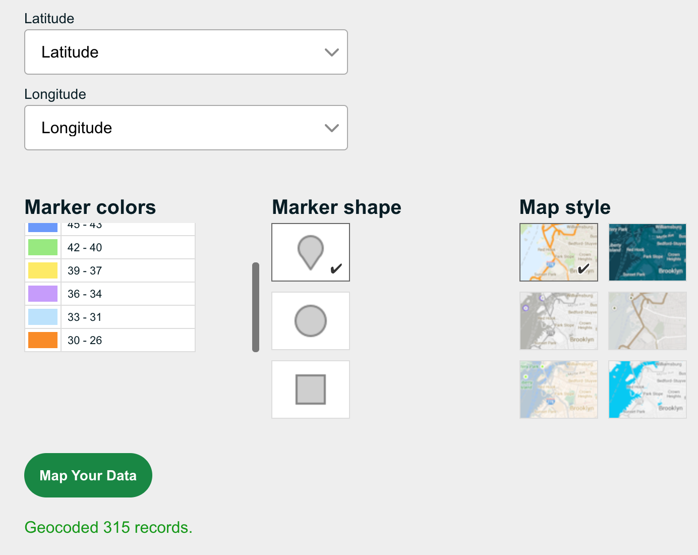
Map Your Latitude and Longitude Data
When you want to visualize your data in ways other than spreadsheets, turn to maps. With BatchGeo, you can map your location data, including latitude and longitude. To do so:
- Open your spreadsheet
- Select (Ctrl+A or Cmd+A) and copy (Ctrl+C or Cmd+C) all your data
- Open your web browser and go to batchgeo.com
- Click on the location data box with the example data in it, then paste (Ctrl+V or Cmd+V) your own data
- Check to make sure you have the proper location data columns available by clicking “Validate and Set Options”
- Select the proper location column from each drop-down
- Opt to “Show Advanced Options” to ensure Latitude and Longitude are also set to the proper location data columns
- Click “Make Map” and watch as the geocoder performs its process
Visit batchgeo.com to map your latitude and longitude data now.
