Map Where You’ve Been (And Where You Want to Go)
Are you going to travel to any new countries, states, or cities this year? How many have you already visited? Many people have goals to visit a certain number of new places every year, or a big total like 50 or 100 countries in their lifetime. Now is a great time to make such a resolution—and there is no better way to track it than a map.
View Which Countries Have I Visited? in a full screen map
Take the example above, which shows the countries I’ve visited in green. The nations I want to visit are in red. You can make your own map almost entirely from your spreadsheet. That way, you can easily update it every time you visit a new place. Follow the steps below to create your own “been there, not done that” type of map. Or, get really creative and plot anything that fits the pattern.
How to Map Where You’ve Been
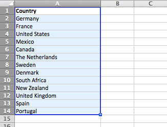
Creating a map of the countries you’ve visited is as simple as making a list. In fact, you don’t even need to use a spreadsheet unless you want to (though it will make the next step easier). Just start your list with “Country” as the heading and put each country on its own line.
I put mine into Excel, and then highlighted the entire list. Don’t worry if you forget one—you can go back and edit it later. Copy your list and head over to the mapping tool on our homepage. Just paste the list into the big box at the top of the page. To get going quickly, just click “Map Now.” We’ll show some other cool settings in the next step.
Faster than it likely took you to remember the countries you’ve visited, you now have a map. The marker pin is plotted into roughly the center of the country, based on the coordinates we get back from the Google Geocoder we use. When you visit another country (or realize you forgot one), just add it to your list, then copy the entire list into this map (we’ll email you a link you can use to edit the map).
Interactive Maps Made Easy
Sign Up NowHow to Map Where You Want to Go
Maps get really fun and useful when you have multiple types of data represented on the same map. Let’s make that map show not only where you’ve been, but where you want to go.
Now is the time where it’s useful to keep this data in a spreadsheet. If you haven’t already, copy your list of countries visited into Excel, Google Sheets, or a similar program for storing data as a table. Now add a second column, just to the right of the country column. Let’s call it Type.
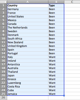
We’ll have two types for this map: Been and Want. You can name them whatever you want. You could even add other types to describe how much you want to go, or maybe to list places you don’t want to go. That’s up to you, but we’ll stick to the simple two type map for this example. Write “Been” in the Type column for all the countries you’ve visited. Now add some countries you want to visit in the Country column, and write “Want” in the Type column for each of those.
Now take those two columns, including the headers, and paste them into BatchGeo. This time, instead of simply making the map, click Validate & Set Options. Make sure the Region is set to International. Set the Country to your country field. Group By may already be selected as Type, but you can double check, then click Advanced Options. In the Marker colors section you can choose from the colors to represent each of your marker types.
Click the Make Map button and away you go. Now you have a map of everywhere you’ve been… and everywhere you want to go! You can also use this same process for many different types of maps, like the one below that shows where the Olympics have been, as well as where they will be going in the future.
Where Were the Olympics?
View Olympics Locations in a full screen map
For over 100 years, the Olympics have brought the world together to compete in many countries. Above you see a modification of the visited countries map to show where athletes have competed in the Olympics. You’ll also notice a handful of markers representing the cities that are to be homes of future olympics.
What other data do you have—perhaps sitting on your hard drive as spreadsheets—that would be better represented as a map?
