How to Place a Pin on Google Maps & Save

Emojis have become essential for communication in our daily lives. While the most popular emojis help express tone or feeling, the round pushpin indicates something just as important: a location where you’ve been or where you want to go. It also happens to be the unofficial icon of one of the most popular web mapping services, Google Maps.
While most people are familiar with obtaining directions from the mega-mapping platform, users often have questions about how to drop a pin and save it. Attempts to drop a pin in Google Maps may result in a search for nearby places—without the option to save or even label it. But there’s another mapping platform where mapping and saving pins is more intuitive—and it utilizes the Google Maps API for its geocoding process.
Create a Spreadsheet of Locations to Pin
Of course, if you’re looking to place a pin on Google Maps, you must first have a location (or two!) in mind. You can take your desired locations, in the form of a spreadsheet, and easily map and display them on a custom Google Map with the help of BatchGeo. BatchGeo performs everything you need to put a pin or pins on Google Maps in just a few easy steps, as noted below.

- Add the location of your desired pin(s) to a spreadsheet. Excel, Google Sheets, or any other spreadsheet tool will suffice, as long as you’re able to copy and paste.
- Dedicate at least one column of your spreadsheet to the location information of your desired pin(s). Any of the following location data will work:
- Addresses
- City names
- State names
- Postal codes
- Country names
- Latitude and longitude coordinates
You can even map landmarks and business names. In fact, most of what you search for in Google Maps can be used in BatchGeo. Now let’s map your locations, whether the Eiffel tower landmark or your sister’s new address in Spain.
Map One or More of Your Pins
Once you have your spreadsheet with your location data, you’re ready to create a pinned map just like the one below.
Interactive Maps Made Easy
Sign Up NowView Single pin map in a full screen map
To do so:
- Open your spreadsheet
- Select (Ctrl+A or Cmd+A) and copy (Ctrl+C or Cmd+C) your data
- Navigate to batchgeo.com in your preferred web browser
- Click on the location data box with the example data in it, then paste (Ctrl+V or Cmd+V) your own data. Select “Map Now”
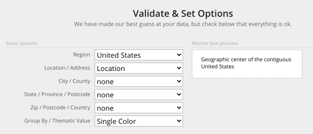
- Check to make sure you have the proper location data columns available by clicking “Validate & Set Options”
- Select the proper location column from each drop-down
- Click “Make Map” and watch as the geocoder performs its process

You can add multiple pins to the same map by adding additional locations to your spreadsheet. With this added data, you may also find it helpful to include more columns of information. One common example is a type column, a way to assign categories to your data. But you could also include separate columns for length, height, etc., depending on your information. After adding additional columns, follow the same steps noted above.
View Multi-pin map in a full screen map
Having multiple locations unlocks the ability to group and filter your map by any additional columns from your spreadsheet. And after you’ve created your map, there are just two things left to do. The first is to save your pins. Then, ultimately, you may wish to share your map.
Save & Share Your Pins on Google Maps

With your pins mapped, you’ll want to ensure you click Save. Once that’s done, you’ll be able to access your map on any device by visiting its custom URL. But your eyes don’t have to be the only ones that get to see your saved map. You may wish to share your pins of locations where you’ve been or where you want to go with friends, family, or followers.
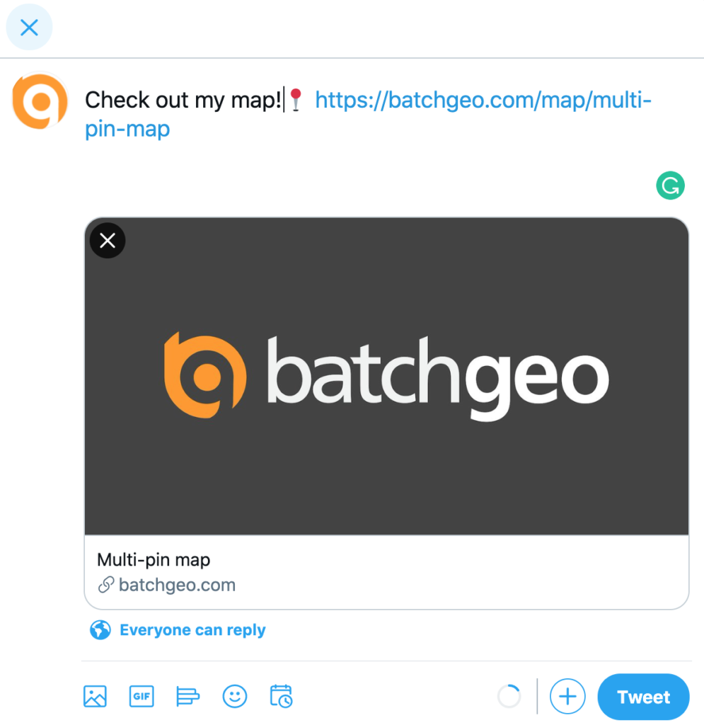
You can share your maps on social media a handful of ways, the easiest being via URL. Copy the URL from your web browser (which always starts with batchgeo.com/map/). Paste the link into a text to your mom, an email to a buddy, or even a tweet to all your followers. And it’s just as simple to embed your maps into your website’s homepage or blog post with batchgeo.com.
