Watch our video above and learn all about how BatchGeo can help you get a better understanding of your data.
Category: mapping
Announcing BatchGeo Mobile for iOS
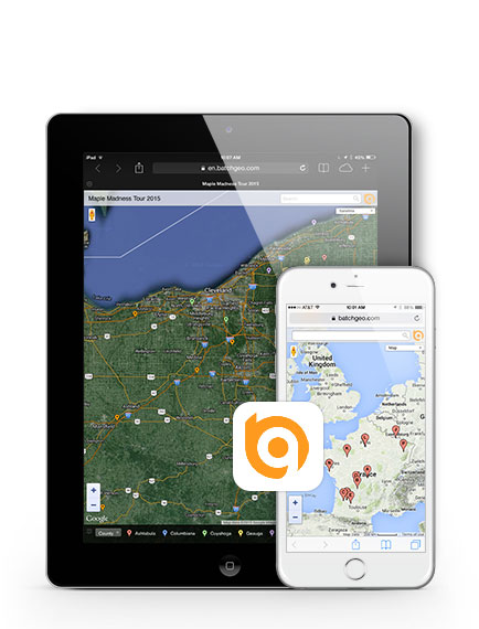
We’ve always supported iPhone and iPad clients using a mobile web solution, but today we have released a native app for iOS clients. BatchGeo Mobile uses the MapKit framework just like your built-in Google Maps app, so its silky smooth and responsive to touch gestures. Find out more by visiting our mobile app page, or head straight over to the iTunes App Store.
Street View for BatchGeo Pro
We are proud to announce a new feature for our BatchGeo Pro users: Google Maps Street View integration. Now if locations on your map are of individual addresses and there is street view coverage in the area, you will be shown a photo of the location upon clicking the markers. See an example below:


